Details of each "leg"
This event is a point-to-point race and has two transitions.
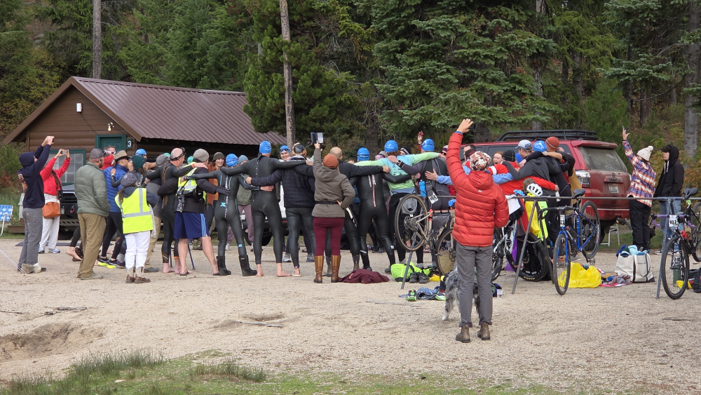
Swim Start at the Warm Lake Lodge beach, swim clock-wise around the course, keeping the swim lane buoys on your right. Turn at the red buoy and swim to the boat launch docks. Guides and assistants for adaptive athletes are allowed on the course and at the end of the swim leg.. The elevation for this leg is 5303’. The length of the swim course is 1 mile (1.6k) and is expected to take around 1 hour for most athletes to complete. Wetsuits are required for all swimming athletes. T1 is located at the Boat Launch. Strippers are allowed. A Warming Tent and Medical is also available at T1. Bike racks are located next to the Bike Start point. The Bike route is 27 miles (43.45k). The elevation ranges from 5300’, over ~7300’, and down to ~5200’.
The Bike Start is at the exit of the boat Launch area. Riders turn right on Lake Shore Drive and continue to Warm Lake Highway. Then they turn right onto Warm Lake Highway, continue over the summit, and turn left on Johnson Creek Road. The bike leg is 27 miles. T2 is located on Johnson Creek Road (north gate at Cox Ranch.) Your T2 bag will be waiting for you. Bike racks are available. Check the T2 bag for your bib number. Race volunteers will be located at T2 to load bikes onto transport trailers. Be sure to cross within the marked areas of T2 to ensure your time is tracked.
The Run leg is 7 miles (11.27k) on Johnson Creek Road. The elevation is “relatively” flat going from ~5200’ and ending at ~4900’. Runners stay on the same road to the finish line in Yellow Pine.